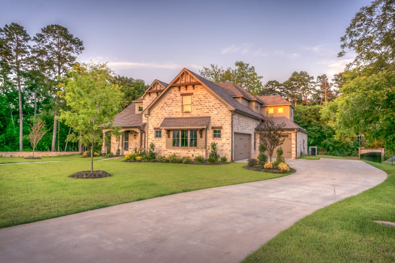
Luxury Villa Aerial View
High-resolution drone photography showcasing a luxury property, highlighting the pool, landscape, and architectural details.
Explore our portfolio of professional aerial solutions for real estate, construction, and commercial applications.
High-resolution drone photography showcasing a luxury property, highlighting the pool, landscape, and architectural details.

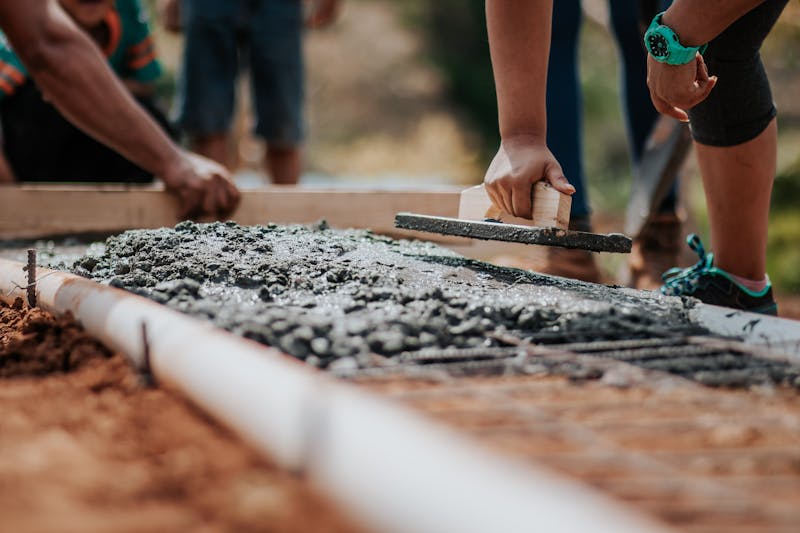
Regular aerial inspections and progress mapping for a large-scale commercial construction project.

Precision aerial mapping for agricultural land analysis, providing data for irrigation and crop health.
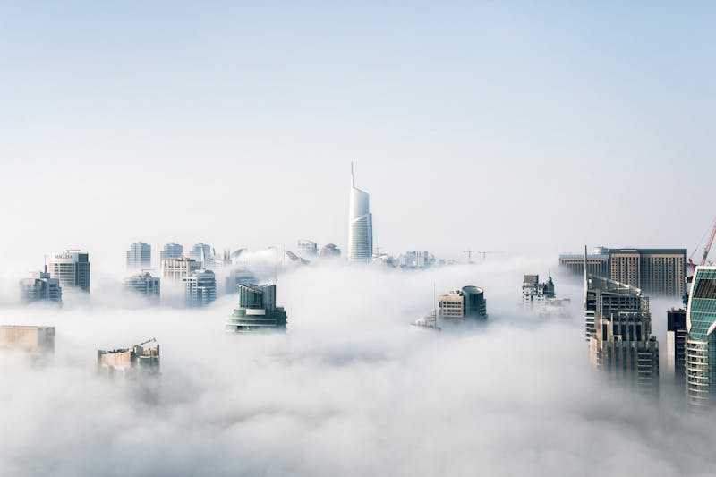
Aerial imaging for a commercial industrial park, used for site planning, marketing, and security assessment.
Comprehensive drone footage for a new residential community, supporting sales and development planning.
Detailed drone inspection of bridges and roadways, identifying maintenance needs safely and efficiently.

Our trusted partner for high-end real estate aerial photography, providing stunning visuals for luxury property listings across Scottsdale.
Relies on our drone mapping and progress monitoring services for accurate site surveys and efficient project management.

Collaborates with us for precision aerial data collection and topographic mapping for land development projects.

A long-term partner for commercial aerial imaging, creating dynamic video content for marketing and advertising campaigns.