Professional Aerial Solutions

Elevate Your Vision with Precision Drone Services

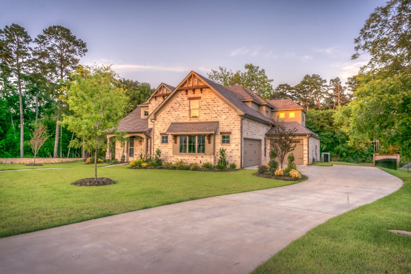
High-resolution aerial imaging for real estate, construction, and commercial projects.

ScottsdaleDroneServices delivers expert drone photography, mapping, and inspection to provide you with detailed, actionable insights from a unique perspective.

Ready to Elevate Your Project?

Take the Next Step with Professional Aerial Solutions

Our expert team is ready to capture stunning visuals and precise data for your real estate, construction, or commercial needs. Let's discuss how our drone services can benefit your specific project.

📋

View Our Portfolio

Open

📞

Schedule a Consultation

Open

💬

Get a Custom Quote

Open

Go

Start Your Project

Start

Why Choose Us

Delivering Measurable Value

01

Unmatched Detail & Clarity

Our high-resolution aerial photography provides crystal-clear visuals, revealing property details and site conditions that ground-level photos miss.

High-Resolution Imaging
02

Actionable Data & Insights

Transform raw aerial footage into precise maps, volumetric measurements, and progress reports that drive smarter, faster decision-making.

Data-Driven Results
03

Enhanced Project Safety

Conduct thorough inspections of hard-to-reach areas like roofs and structures without putting personnel at risk, reducing liability.

Risk Mitigation
04

Significant Time & Cost Savings

Complete site surveys and inspections in a fraction of the time required by traditional methods, accelerating project timelines and reducing labor costs.

Efficiency Boost
05

Compelling Marketing Assets

Elevate your listings and proposals with stunning, dynamic aerial visuals that capture attention and communicate scale and quality effectively.

Visual Impact
06

Professional Reliability

We operate with full FAA compliance, professional-grade equipment, and insured pilots, ensuring your project is in capable, trustworthy hands.

Certified & Insured